

GIS Data
Setting the standard for geographic accuracy.
We standardize and update our data and realign our GIS parcel layers constantly using our own in-house staff of Mappers and GIS Specialists. This means our files are an accurate reflection of the latest parcel boundaries and assessor information, including ownership, assessments, sales and property characteristics.
ParcelQuest’s datasets, web services and maps are harmonized so your operations run more efficiently, saving you time and money.
Enhanced GIS Parcel Layers
California GIS Layers, Current & Standardized
Our layers include every parcel in all 58 CA counties, standardized with the correct projection and alignment. If you have tried to maintain a multi-county parcel data set and found the process to be challenging, give us a call. We’ll give you the benefit of a statewide standard.
Custom Clipping Service
Nip inefficiency in the bud.
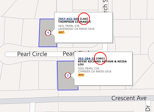
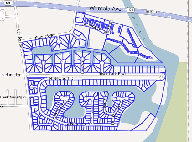
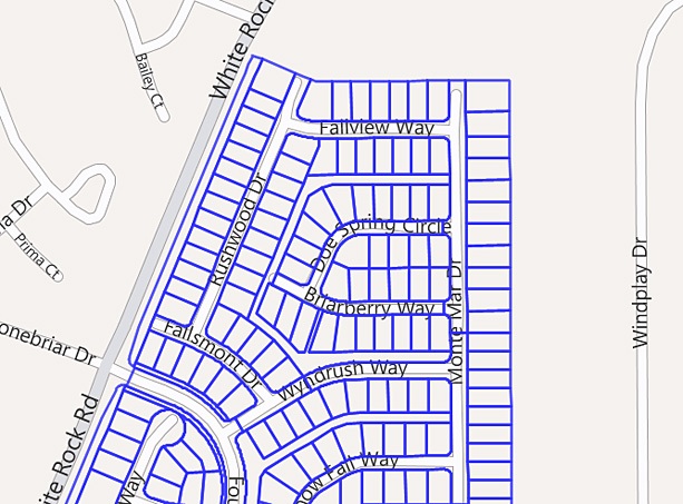
Need a parcel layer that covers just your area of interest? Our GIS clipping service saves you time and effort. Let us know what you need and we’ll give you a shape file containing every parcel within that boundary, joined with the corresponding assessor data you want, including ownership, address or other information.
Whether it’s in a city, across multiple counties, within a certain jurisdiction, along a transmission line – whatever fits your needs, we’ll create a custom GIS file joined with county assessor data.
ParcelQuest Gateway for ArcGIS
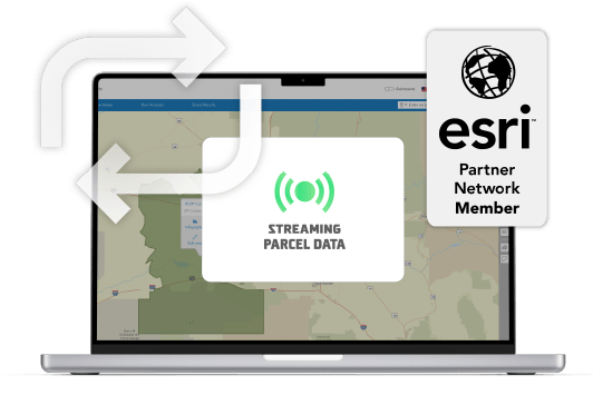
ParcelQuest delivers parcel data directly into the Esri Ecosystem with the PQ Gateway feature service. That means access to the most accurate, authoritative, continuously updated parcel and property ownership data as soon as you need it, exactly where it’s needed. Call us for a custom quote and start working faster and more accurately today.
Other Features

APN Maps
View interactive assessor maps for all of California
Learn More

Property Owners
Get owner names and addresses for all California properties
Learn More
Additional Resources
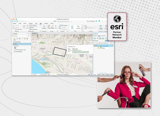
Saving Time and Money with ParcelQuest Gateway
Sure. You could spend countless hours gathering ownership records, cleaning data, and integrating it into your workflow. But why?
Read More >
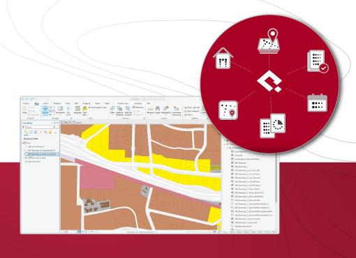
Unifying California Parcel Data Isn’t Easy. That’s Why We Did It.
We love a good puzzle, and building an authoritative parcel database is exactly what gets our blood pumping.
Read More >
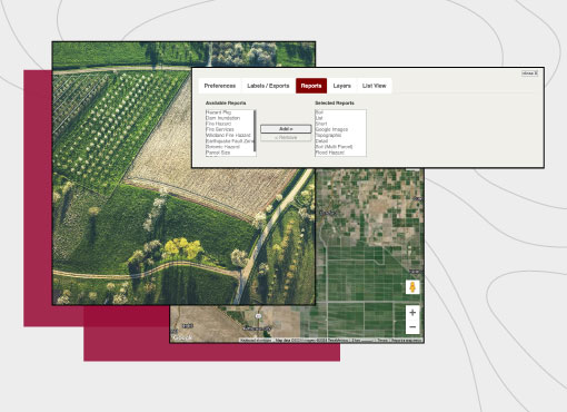
How Much Data Do You Need?
We exist to give you exactly what you’re looking for, without ever bogging you down with extras you don’t need.
Read More >
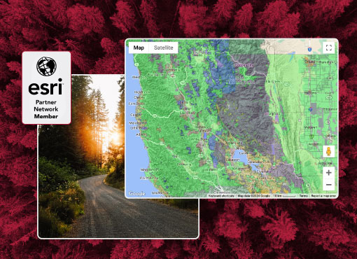
Unlocking the Potential of ArcGIS with ParcelQuest
We're not sure about skinning cats, but we know there are several ways to import our parcel data into ArcGIS.
Read More >
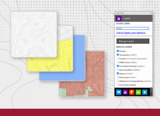
Raising a Glass to California’s GIS Professionals
ParcelQuest helps California's GIS professionals change the world. Or, at least, have a better day, which is basically the same.
Read More >
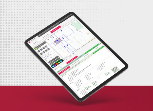
Mapping the Future of GIS
What do you get when you pack three California GIS geniuses in a room? ParcelQuest! (And a great conversation.)
Read More >
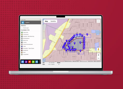
We Love City GIS Experts
In our relationship with local agencies, cadastral maps are our love language.
Read More >
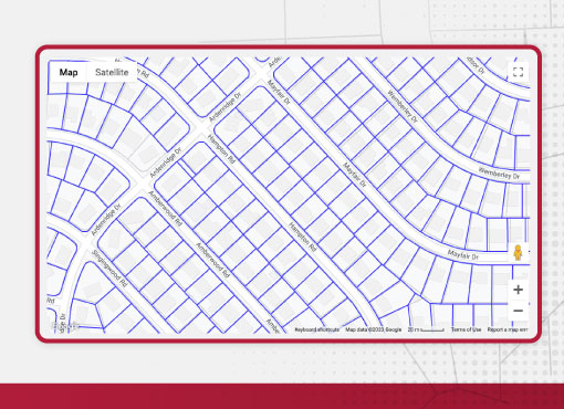
Did Somebody Order Bulk Data?
Need a one-time download of parcel data for a county or the whole state? We’ve got you covered.
Read More >
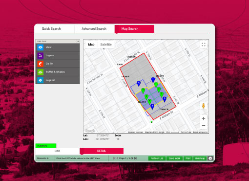
If It Ain’t Broke, Make It Better
We’re the best parcel data resource in California, but we’re still always working to be better.
Read More >
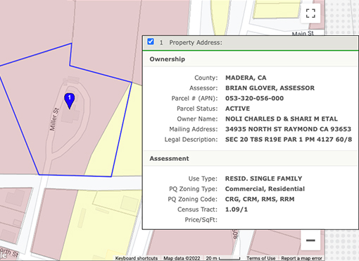
Who Needs Parcel Zoning Information?
If you’ve ever touched a parcel, you probably need to know something about it. PQ has all the answers.
Read More >
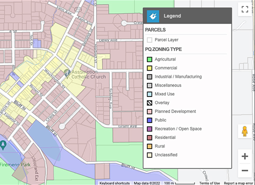
Get Zoning Data for Thousands of Parcels Without Breaking a Sweat
Sure, you could match thousands of zoning codes to their respective parcels by hand. But why?
Read More >
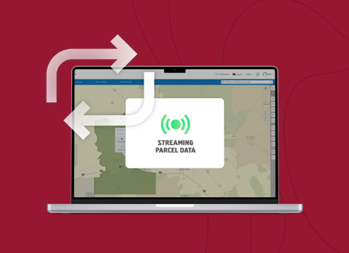
The Magic of All Your Data Living in One Place
Save yourself the headache of duplicating your efforts by working right in ArcGIS.
Read More >
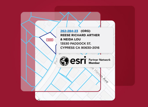
Five Things You Didn’t Know You Could Do in ArcGIS
You use it every day, but are you making your Esri software work for you?
Read More >
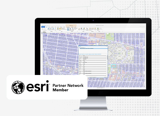
Why Gateway is the Superior Parcel Feature Service
You could spend your day updating parcel data in ArcGIS. Or you could just use Gateway.
Read More >
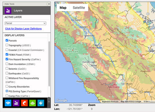
Layers Upon Layers of Map Data at Your Fingertips
How we define bliss: cross-referencing multiple data points in a custom-defined map shapes.
Read More >
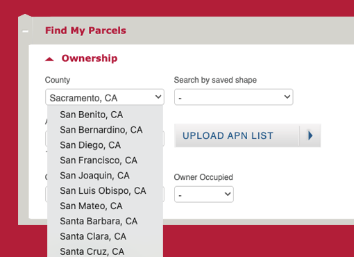
Agricultural & Commercial Appraisers Need Robust Comp Tools
ParcelQuest gives you more options for finding exactly what you’re looking for.
Read More >
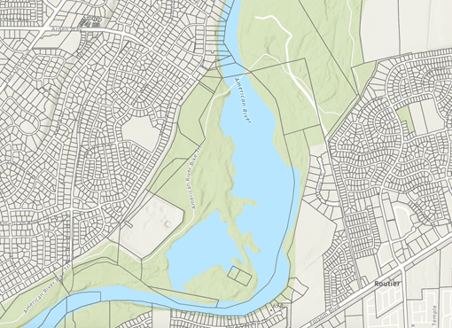
How ParcelQuest Gateway Can Save You Valuable Time
Your projects are time-sensitive. Your parcel data should be, too.
Read More >
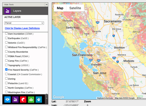
I’m a Surveyor or Civil Engineer — What Can ParcelQuest Do For Me?
The information you need for your projects, faster and better than ever
Read More >
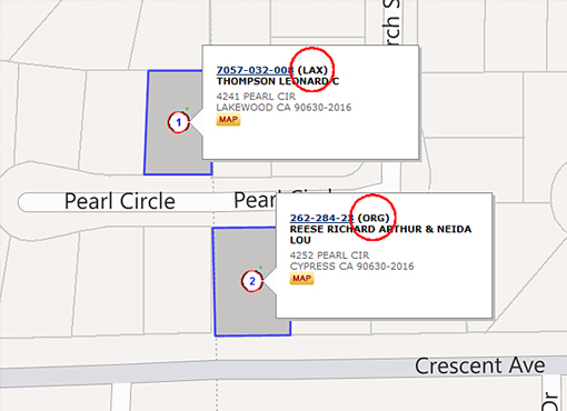
Unparalleled Cadastral Mapping Expertise
In-house land mapping that blows other data outta the water.
Read More >
We didn’t put California GIS on the map for nothing.
Let us make your job a lot easier.