
Surveyors & Engineers
Know exactly where to start the job with our up-to-date parcel data, ownership information and maps.
Need a birds-eye view of a parcel’s location before you begin a job? Need to know who owns the property next door? Where to lay out the road? If you’re on a fault line? Look no further. Our tools add precision to your own set to speed up the job and get it done right.
You’ll have all 400,000+ assessor parcel maps at your fingertips, continuously updated as they change. Purchase a copy of the latest deed (or prior deeds) to see the current legal description and whether it has been transmitted properly from deed to deed. Order assessment maps and recorded maps and documents for additional information to get your job started.
Features frequently used by Surveyors & Engineers

Parcel Search
Find properties using our simple and advanced search tools
Learn More

Property Owners
Get owner names and addresses for all California properties
Learn More

APN Maps
View interactive assessor maps for all of California
Learn More

Visual Layers
Explore multiple geographic data layers overlaid with parcels
Learn More

Recorded Documents
Deeds, sales history, tax documents, and more
Learn More

Exports & Reports
Download the files you need to get your projects off the ground
Learn More
ParcelQuest Navigator exceeded my expectations. It is truly the industry standard for California parcel data.
Bob Wenzlau
CEO
Terradex, Inc.
We always appreciate ParcelQuest's fast, friendly service. They turn around complex GIS orders quickly, providing us with critical parcel data for our utility planning.
Mark Tukman
Founder
Tukman Geospatial, LLC
Additional Resources
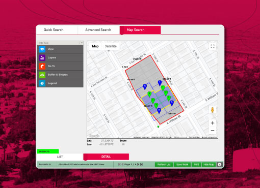
If It Ain’t Broke, Make It Better
We’re the best parcel data resource in California, but we’re still always working to be better.
Read More >
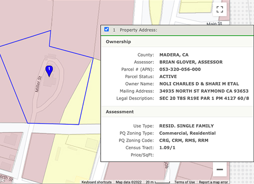
Who Needs Parcel Zoning Information?
If you’ve ever touched a parcel, you probably need to know something about it. PQ has all the answers.
Read More >
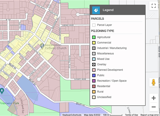
Get Zoning Data for Thousands of Parcels Without Breaking a Sweat
Sure, you could match thousands of zoning codes to their respective parcels by hand. But why?
Read More >
The Magic of All Your Data Living in One Place
Save yourself the headache of duplicating your efforts by working right in ArcGIS.
Read More >
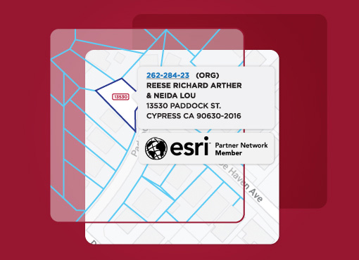
Five Things You Didn’t Know You Could Do in ArcGIS
You use it every day, but are you making your Esri software work for you?
Read More >
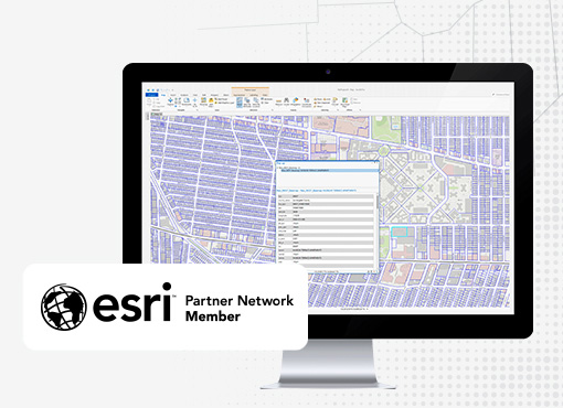
Why Gateway is the Superior Parcel Feature Service
You could spend your day updating parcel data in ArcGIS. Or you could just use Gateway.
Read More >
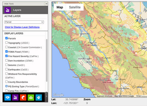
Layers Upon Layers of Map Data at Your Fingertips
How we define bliss: cross-referencing multiple data points in a custom-defined map shapes.
Read More >
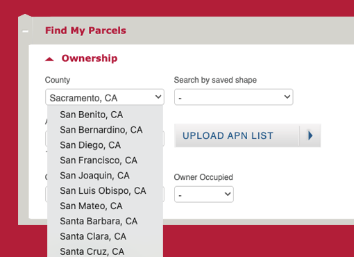
Agricultural & Commercial Appraisers Need Robust Comp Tools
ParcelQuest gives you more options for finding exactly what you’re looking for.
Read More >
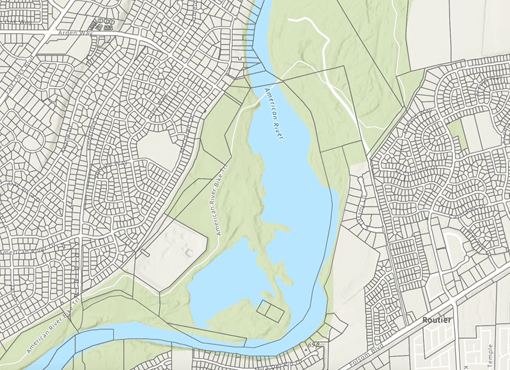
How ParcelQuest Gateway Can Save You Valuable Time
Your projects are time-sensitive. Your parcel data should be, too.
Read More >
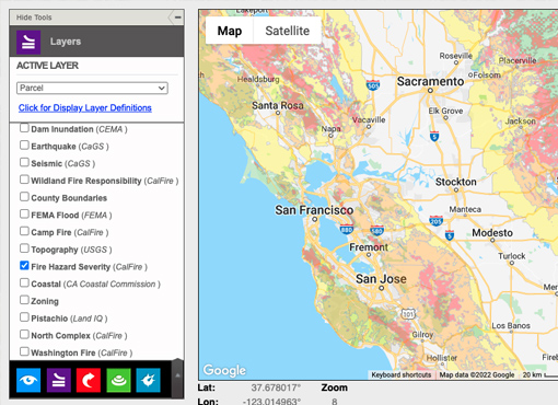
I’m a Surveyor or Civil Engineer — What Can ParcelQuest Do For Me?
The information you need for your projects, faster and better than ever
Read More >
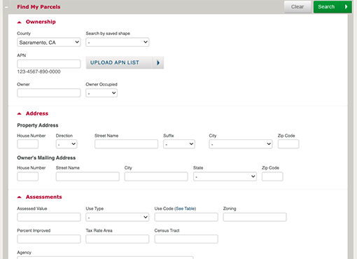
Find My Parcels: More Options, More Probability Of Finding What You Need
The Find My Parcels section within the advanced search menu offers a range of options to find exactly what you need, no matter which parcel or group of parcels you’re looking for.
Read More >
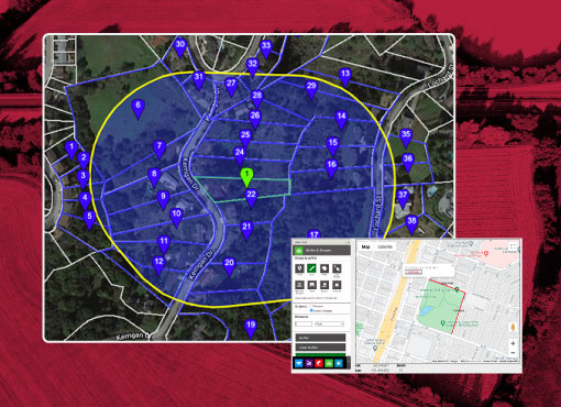
Buffer & Shapes: Power Tools That Can Help You Do More
Drawing tools to help you get the information you need as soon as you need it.
Read More >
Get the job started on the right foot with the right property data.
Join Us