ParcelQuest offers a variety of access points and products at different price levels to fit your needs. Whether you’re an individual seeking a one-off parcel report or an organization seeking an enterprise solution, we’ve got you covered. Click below to explore our products and pricing options.
New members get one month free with annual billing
Access the Transaction History report for parcels throughout California. At the Aviator level, you'll have free, unlimited access to the transaction history, including recording dates, doc numbers, doc types, buyer and seller names, lender names, and other information captured from the documents. Navigator subscribers will have free access to recording dates, doc types, and partial doc numbers with the full Transaction History report available for purchase on an individual parcel basis.
$5.00/ea
$5.00/ea
$5.00/ea
Purchase any document with a single click from either a parcel's detail page or from the parcel's full docs & sales history. You can also search for a specific document by document type or document number.
250
1,000/mo
10,000/mo
Export data to spreadsheets and mail merge programs. With your subscription, you can export addresses, assessment values, property characteristics and tax information directly into excel. You can even customize what you'd like to export directly from our property list view.
$3.00 or $5.00/ea
$3.00 or $5.00/ea
15 FREE exports, $3.00 or $5.00/ea thereafter
Export parcel boundaries into a shape file compatible with your GIS system. Shape files containing ownership data are $3 each while shape files containing both ownership and characteristics data are $5 each.
—
—
✓
Access the zoning code for each parcel as determined by the appropriate planning department. With ParcelQuest Aviator, you'll have access to all relevant PQ Zoning data, including PQ Zoning Code, PQ Zoning Type, and PQ Zoning Reports (Not available in all counties).
—
—
✓
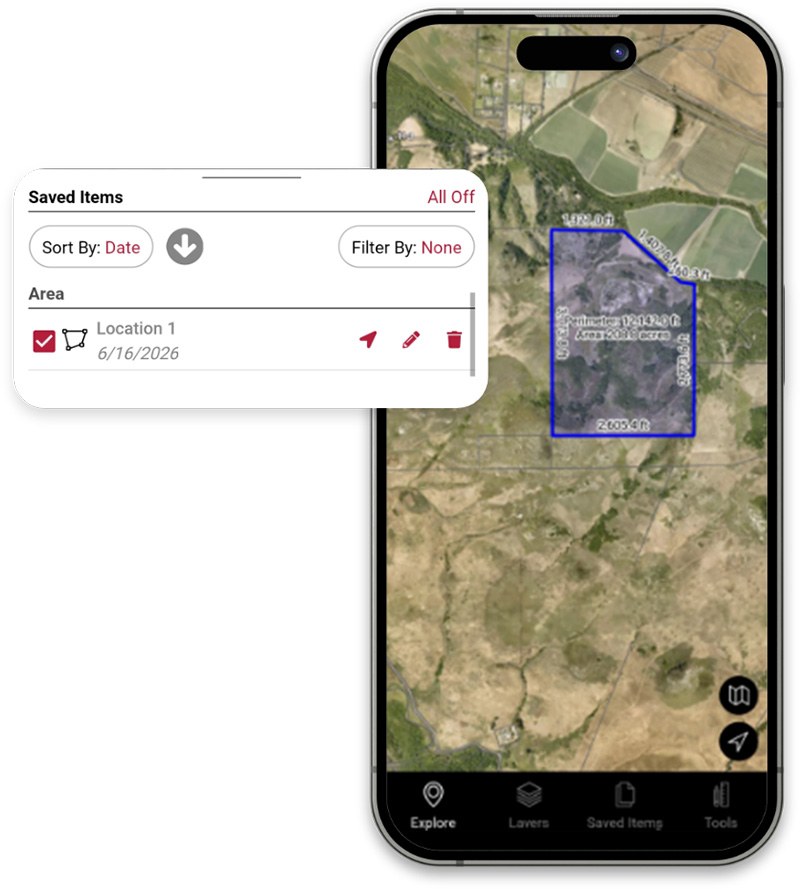
Get GPS-enabled property data in the field - including owner name and characteristics, access an extensive layer library that includes crop layers and fire hazards, outline areas of interest, and mark locations with tags, notes, and photos, and so much more.
—
—
✓
Access tax bills, taxes due, delinquent taxes, line items on tax bills and due dates. See tax bill data by parcel or search by tax agency, delinquencies, delinquent dates, taxes owed, and more.
—
—
✓
See estimated market values, total outstanding loans, loan to value ratio, available equity and lendable equity on your parcel of interest. View first, second or even third position loan data including loan date and type, interest rate, document number, loan value and lender name and type.
✓
✓
✓
Search county assessor data across all 13 million properties in 58 California counties.
✓
✓
✓
Get a current assessor profile for any property in California, including ownership, address, assessment, sales history and property characteristics. Print full property profiles, abbreviated reports and list profiles.
✓
✓
✓
View, print, measure areas, add text and save our APN maps.
✓
✓
✓
Click directly on an aerial photo or street map to display the parcel boundary, owner name and address. Draw, measure, or export shape files directly from the interactive map.
✓
✓
✓
Overlay informational, visual layers onto our interactive maps. Our extensive layer library includes parcel boundaries, fire hazard, topography, fire responsibility, dam inundation, earthquake, seismic, wildland fire hazard, county boundaries, FEMA Flood, coastal, section boundaries, and more.
✓
✓
✓
Select properties by proximity to parcels, custom-drawn areas, lines or points. Create mailing labels, radius maps and notification lists.
✓
✓
✓
Generate accurate multi-parcel property profiles and various reports in .pdf format including dam inundation, wildland fire hazard, topography, soils, fire hazard, earthquake fault zone, flood hazard, fire services, seismic hazard and more.
✓
✓
✓
Apply all of ParcelQuest's advanced search functions against your own list of uploaded APNs.
Or, fill out the form below to let us know what you’re looking for and how you’re currently using Esri products, and we’ll get in touch with ways to help you get the most from your California parcel data experience.
"*" indicates required fields
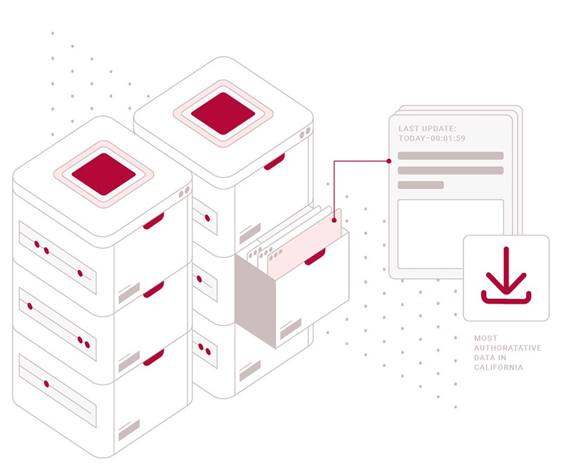
ParcelQuest Gateway is a continuously updated feature service providing parcel boundaries, ownership, zoning, and attributes for 13+ California parcels, delivered directly into your GIS environment.
Parcel boundaries
Owner names & addresses
Property characteristics
Zoning data
Bulk Data
Choose monthly, quarterly, semi-annual or annual data delivery
Need a specific data set for a project? We offer customized bulk data packages at a statewide or
county level. Let us clip what you need and save you the trouble of searching and assembling
custom data sets yourself.
Available data modules include: