Area Maps & Visual Layers
Visualize success with maps that dig a lot deeper.
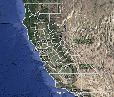
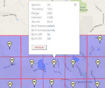
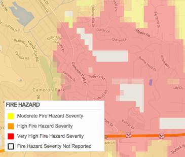
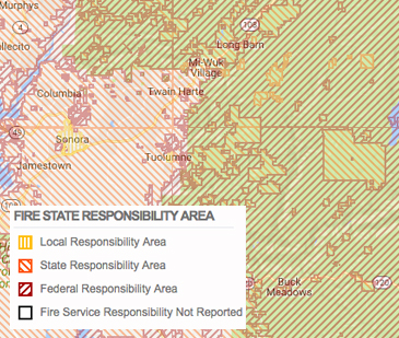
Our collection of current maps and visual layers helps you find the property information you need, wherever you need it, at warp speed. Our area maps are high-res and interactive, and are exportable into your own documents and applications. Our extensive visual layers help you see the bigger—as well as more detailed—picture of your area of interest. With ParcelQuest, you don’t need to know California like the back of your hand, because we already do.
sign upArea Maps
Interactive Street & Aerial Maps
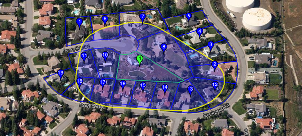
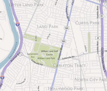
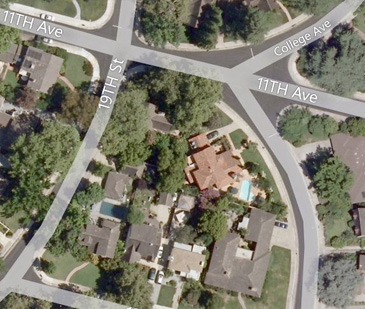
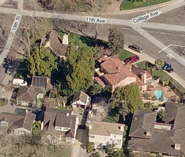
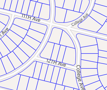
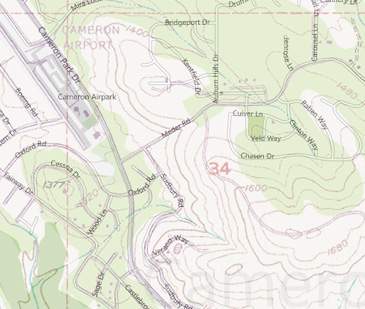
Know the area of interest but don’t have an exact physical address? View the results of your search displayed on the road, aerial or street map view within PQ Online. The parcel's boundary, physical address and ownership information will immediately pop up at the click of a mouse, too.
Drawing Tools
With PQ Online, you'll have the ability to draw shapes, see latitude and longitude readings and even measure custom drawn lines or areas right on the interactive map.
-
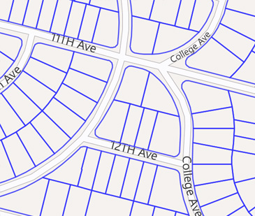
See the boundary lines of selected parcels
-
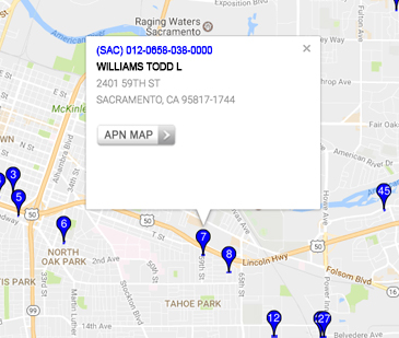
Display address and ownership info in a pop-up window
-
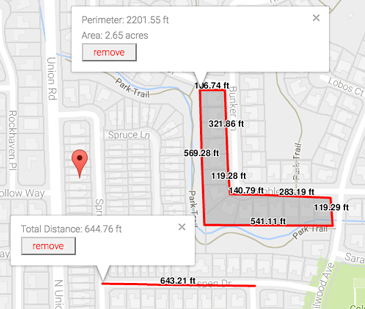
Draw, measure and edit custom shapes
-
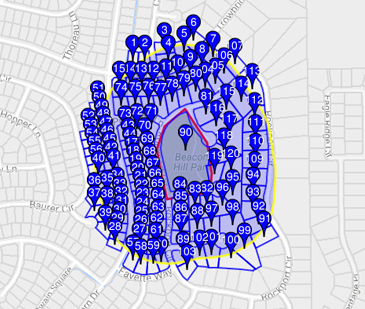
Perform a buffer search based on a custom drawn shape
-
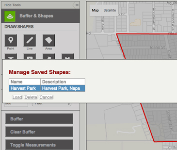
Save and load custom drawn shapes for future buffer searches
