Surveyors & Engineers
All Industries
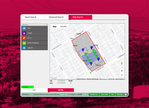
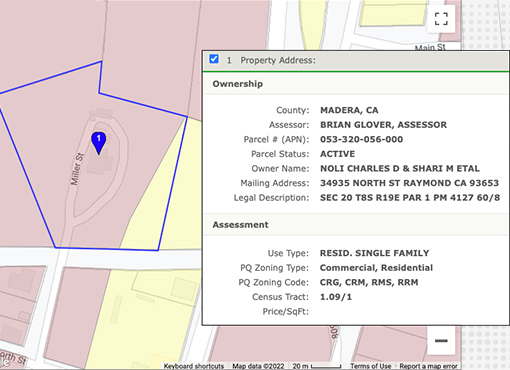
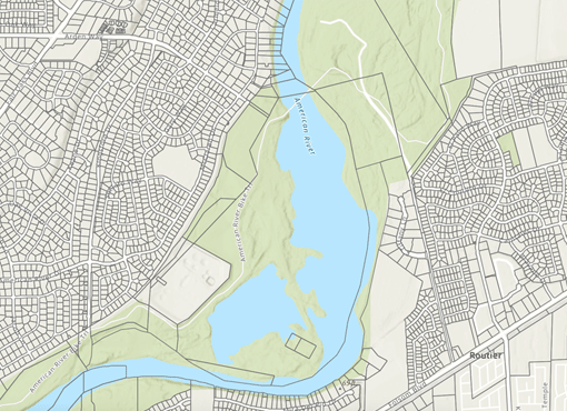
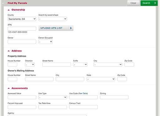
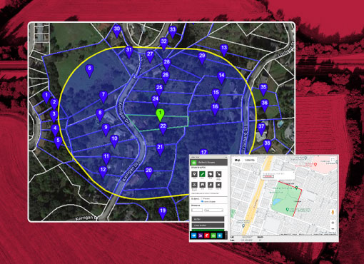
Know exactly where to start the job with our up-to-date parcel data, ownership information and maps.
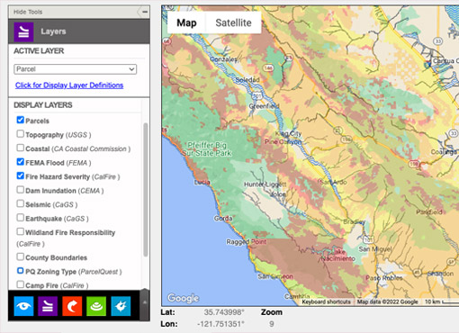
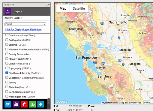
Need a birds-eye view of a parcel’s location before you begin a job? Need to know who owns the property next door? Where to lay out the road? If you’re on a fault line? Look no further. Our tools add precision to your own set to speed up the job and get it done right.
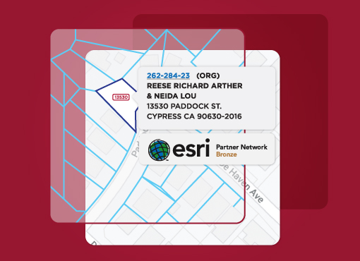
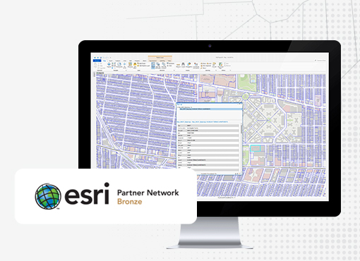
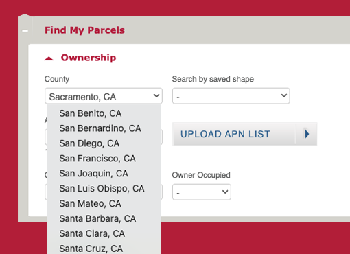
You’ll have all 400,000+ assessor parcel maps at your fingertips, continuously updated as they change. Purchase a copy of the latest deed (or prior deeds) to see the current legal description and whether it has been transmitted properly from deed to deed. Order assessment maps and recorded maps and documents for additional information to get your job started.
