Agricultural & Commercial Appraisers Need Robust Comp Tools
ParcelQuest gives you more options for finding exactly what you’re looking for.
An ag appraiser walks into a bar. He’s looking pretty bummed out, so the bartender asks, “Hey, what’s the matter?”
“I’m trying to find a good comp search tool but none of the ones I’ve tried have all the data I need. They’re either limited by ZIP code, or their information is out of date, or they don’t show enough information. And maps! Nobody ever has enough maps!”
“You know, I had a commercial appraiser in here just last week talking about that same thing,” the bartender says thoughtfully, realizing he gets a bizarrely high amount of traffic from appraisers. “He said he started using ParcelQuest.”
That’s not a punchline. It’s just California’s most robust and up-to-date source of parcel data information for appraisers, engineers, surveyors, real estate investors, and anybody else who needs to know everything about a piece of property – right now, in multiple formats, updated daily.
Not Your Mama’s Comp Search Tool
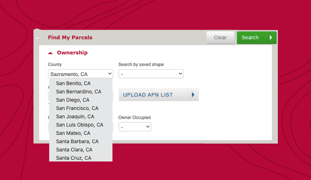
ParcelQuest provides county assessor data from all 58 California counties, updated daily, in an easy-to-search format. What that means to you is we make it easy to search for extremely specific data sets that would be a tremendous hassle to piece together with any other service or from multiple sources.

Do you need a comp for a 40-acre horse farm near a coastline? What about a pistachio farm near a flood plain? What’s the fire risk data on that property? What about earthquakes? Did you need owner data while you’re at it? Whatever search criteria you need, you can find it in one place using our fully customizable search tools.
When it comes to agricultural and commercial appraisal, we know that every job is unique. To get an accurate comp, you might need to search for incredibly specific property types, compare properties in multiple areas of the state, and cross-reference multiple data sources to get a really accurate picture. It’s nowhere near as simple as just plugging in a ZIP code.

So we set out to make a tool that would work at the level of detail and specificity you need, without sacrificing speed and accuracy. Sure, we only offer California parcel data. But with a state this great, can you blame us?
Do You Like Maps? We’ve Got Maps.
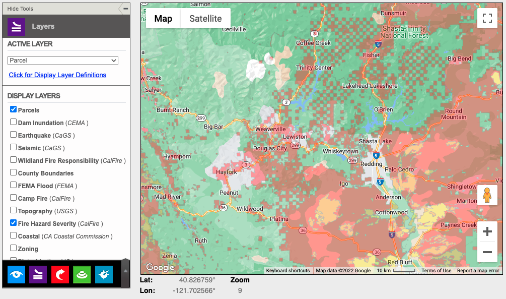
A lot of parcel data and comp tools only give you one information output. But what if you need something more interactive and intuitive to analyze than a list? And what if you want to search geo-spatially rather than in text? We’ve got you.
Our visual maps can be layered right on top of the parcel layer so you can cross-reference as many data types as you like. And with custom-drawn shapes, you can set your own parameters for searches, letting you go as broad or narrow as you need to get what you’re looking for.

Whether you’re a commercial appraiser trying to get property data for a collection of warehouses, or a real estate investor looking to buy agricultural property in California, or an ag appraiser trying to get a reasonable comp on an orange grove, ParcelQuest has the tools you need.
Sign up today for an account to take us for a spin! Or call 1-888-217-8999 to learn more about what we offer and get help deciding which subscription plan is right for you.