


Unparalleled Cadastral Mapping Expertise
ParcelQuest provides the most accurate, up-to-date California property data online. We update 13 million parcels of data for all 58 counties every single day. If that’s not impressive enough, we continuously standardize and update our data and realign our California GIS layers using our very own in-house drafting staff, providing you with an efficient source for the property data you need.
What is cadastral mapping?
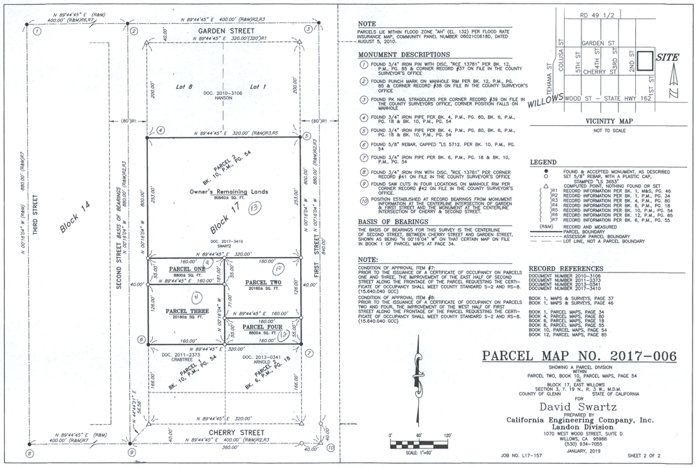
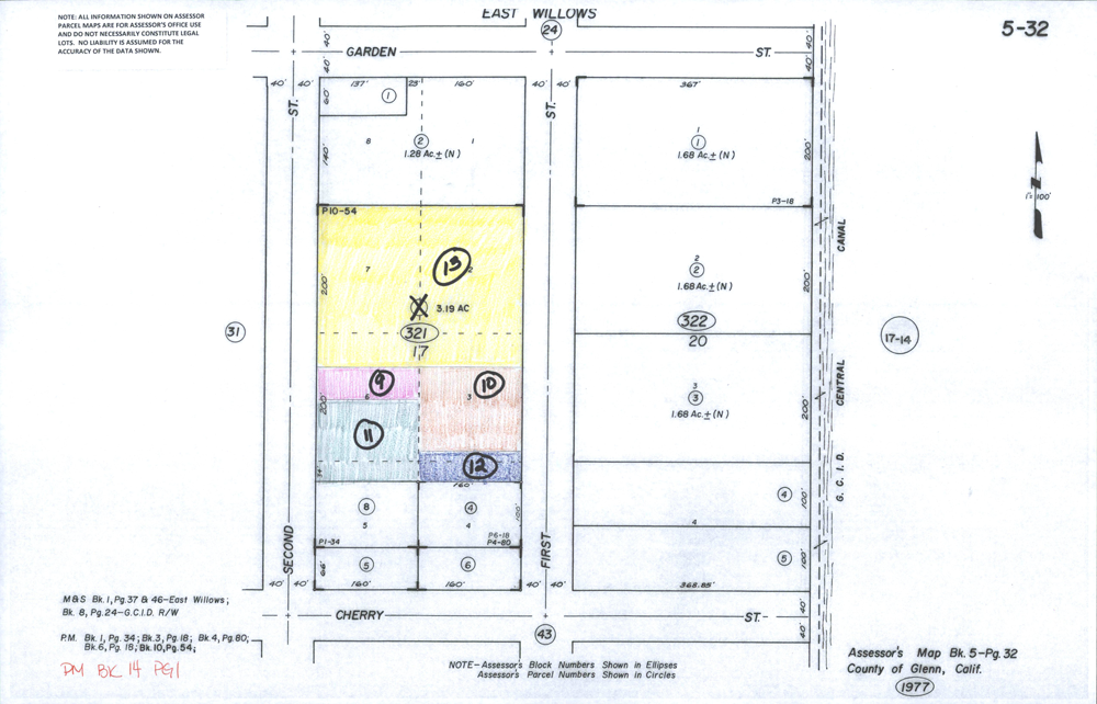
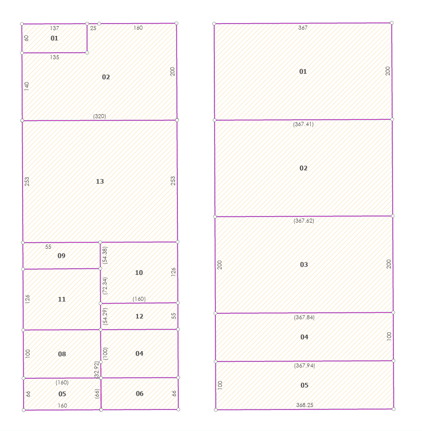
Cadastral Geographic Information System (GIS) data contains information regarding the legal interpretation of property lines. Cadastral surveying and recorded documentation are used to track and show the boundary lines of real estate and public land. This information is used to create Assessor cadastral maps, which include linework, parcel numbers, land ownership, tax and value assessments, acreage, dimensions, and topographic mapping. As a result, our customers have access to the most accurate and up-to-date California parcel data that they can use for the purpose of apportioning taxes, establishing land ownership, supporting land market values, calculating agriculture subsidy payments, keeping a graphic record of information regarding water resources, and for outlining zones based on value and purpose of use.
In-House Mappers Mean Outstanding Data
The mapping team at ParcelQuest dedicate their days to making sure your property data is exact. Our team consists of experts who ensure all our California property data and GIS maps are updated and precise. They design and evaluate algorithms, data structures, and user interfaces for our GIS and mapping systems. By having our own mapping staff, we can fine-tune our solutions to your unique needs.
Their distinct skillset and depth of knowledge is at your service. If you have questions or require unique information, our team is always available to assist you and get you the data you need.
The Benefits of Cadastral Mapping with ParcelQuest
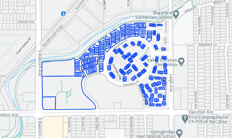
Our maps are comprehensive, converting assessor’s data and their own maps to create more intelligent, interactive maps that include curve modifications, aerial imagery, and current property owner data and boundary lines, to name a handful.
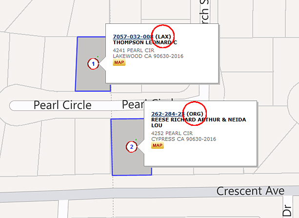
Cadastral mapping outlines property lines, subdivisions, buildings, and governmental boundaries. It defines the ownership line of a parcel and who owns the property, so you can request access to it, make an offer, do public work on the property, send notices, or tax the property.
ParcelQuest maps frequently assist in land valuation, real estate sales, city planning, Land Title Office management, and more to meet the requirements of land ownership codes, comply with real property laws, or proceed with construction. With ParcelQuest’s GIS capabilities, you can easily select parcels, find the data you need, and generate analyses with a few clicks from wherever you are.
To better understand how ParcelQuest expedites your process, here are a few main benefits of our cadastral mapping.
Accuracy
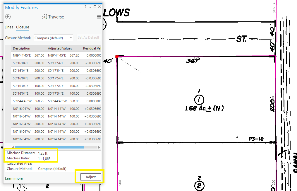
ParcelQuest retrieves information straight from the source: the county. County assessors directly upload their data to our system to eliminate the human error that inevitably comes from manual third-party data input and transfer. As such, we’re able to include the latest California parcel boundaries, ownership information, assessments, sales, and property characteristics in our data files.
With this data, ParcelQuest creates enhanced GIS parcel layers that are both current and standardized. With our accurate projection and alignment, we’ve simplified the process of maintaining multi-county parcel data.
Timely Updates
Many third-party data companies only update their ownership data on-demand or annually. We pride ourselves on our daily data updates for over 46 California assessor offices to ensure you have the most relevant information. On top of that, we update most of our parcel maps monthly, giving you parcel information that is as most current as possible.
We Keep County Assessors Close
We don’t just get our data verified by California county assessors, we also have a pretty special relationship with them. Counties that lack their own maps look to ParcelQuest to create maps for them. Our close partnerships allow us to develop more accurate maps because we can access coordinate geometry (COGO) data for the entire county and receive that data at the same time that assessors receive it.
Customization & Integration
Our maps are easy to use, interactive and customizable. Need a shapefile that covers your area of interest? Our custom GIS clipping service can provide a land ownership map that contains every parcel within that boundary. No matter where it is, we can give you a custom GIS file backed by county assessor data.
In addition to our own extensive expertise and our emphasis on county and client relationships, ParcelQuest is a GIS-trusted Esri partner, which means we’ve got what you need. With Esri location intelligence and GIS software, ParcelQuest seamlessly integrates our data sets into your own.
ParcelQuest is the only comprehensive cadastral mapping provider for the entire the state of California. But we’re more than just the most accurate source of California property data. We also provide the best customer service. Give us a call, and we’ll bend over backwards to get you what you need to keep moving forward.