How ParcelQuest Gateway Can Save You Valuable Time
Your projects are time-sensitive. Your parcel data should be, too.

You’re a city planner overseeing an important project, and the deadline is looming. You need to get permission from multiple property owners before you can approve construction, and you need that contact information yesterday.
Or you’re in law enforcement. You’ve been mapping a recent crime wave in ArcGIS, and you’ve spotted a trend. You can confirm your hunch with some security cam footage, but first, you need owner information for the property where that camera is installed.
Or, maybe not. Look, we don’t know what you do every day. What we DO know is that when you need information, you need it up to date, and you need it now (and so do the people and projects that rely on you). If the information you need happens to be California parcel data, we’ve got you covered. And, for the first time ever, you can get your hands on everything you need to know without even leaving ArcGIS.
We know, we know. But hold your applause. We’re not done yet.
Tell Us if This Sounds Familiar…
You’re working in ArcGIS and need some parcel data. But the data available to you is out of date or missing whole counties that you need. It’s clearly been pulled from another source that only updates once a year, if that.
So what do you do? You can’t work with outdated data. Maybe you drive down to the county assessor’s office yourself to get the data. But that’s completely impractical because you need thousands of records. Or maybe you already know that ParcelQuest is the most accurate and up-to-date online source of California parcel data, so you log in, download the dataset you need, and manually import it back into ArcGIS.
Except, you don’t have to do that. In fact, if you have been doing that, we’re sorry. There’s a better way. A faster way. A Gateway.
ParcelQuest Gateway
You’re probably already using ArcGIS every day. It’s a leading GIS-mapping program from Esri, and it’s become the industry standard for engineers, law enforcement, city planners, and anybody else who needs real-time dynamic data and mapping capabilities.
But what you might not know is that, for Esri users, your commitment to ParcelQuest unlocks a superpower: ParcelQuest Gateway.
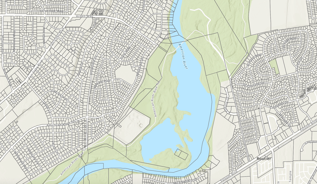
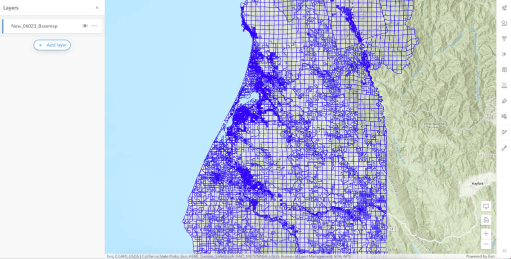
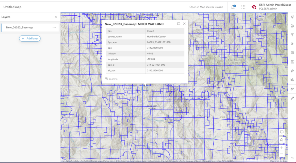
Gateway is an application that lets you access ParcelQuest California parcel data directly within ArcGIS. Like all of our property data, the information comes directly from the county assessor’s office and is updated daily so you can be sure it’s accurate. We scrub the data ourselves to ensure accuracy, and we maintain the parcel layer in-house to make sure the parcel lines are up-to-date, too.
In other words, we do all that hard, time-consuming work for you, so you can spend that time doing other valuable things. Because when time is of the essence, you shouldn’t be wasting it on sub-par data.
Gateway is available now for ArcGIS users. Call us at 1-888-217-8999 for a custom quote or to discuss the needs of your specific organization. And with all the spare time you’ll be saving, take yourself somewhere nice. You’ve earned it.

